
-
-
About Union
Geographical & Economic
Miscellaneous
-
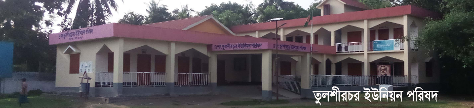
Union Parishad
Union Council
Important Info.
-
Govt. Office
Agriculture
Land
Health Services
Social Service
-
Other Institutions
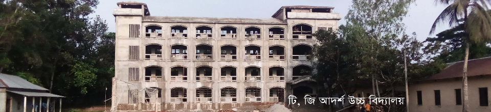
Educational Institutions
Organizations
-
Different Lists
List of Beneficiaries
Other listings
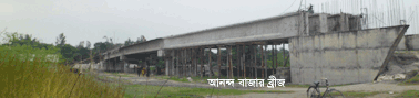
- Projects
- Services
- Gallery
- যোগাযোগ
মেনু নির্বাচন করুন
-
-
About Union
Geographical & Economic
Miscellaneous
-
Union Parishad
Union Council
Activities of Union Counci
কমিটি ও সভা
Important Info.
-
Govt. Office
Agriculture
Land
Health Services
Social Service
-
Other Institutions
Educational Institutions
Organizations
-
Different Lists
List of Beneficiaries
Other listings
- Projects
- Services
-
Gallery
Photo Gallery
Video Gallery
-
যোগাযোগ
অনলাইন যোগাযোগ
ফোনে যোগাযোগ
Main Comtent Skiped
Tulsirchar at a glance
Tulsirchar at a glance

Name: 4th Tulsirchar

Area: 16.90 sq. Km

Boundaries: North - Chandrakona, Rouha and Ghughurajkandi Betmari Union, West - Lakshirchar
                       Union, to the south - Ranagachha, Narundi and Itail Unions, to the east - Char Ashtadhar Union.

Population: R: 2৭629
umber of villages: 13

Number of mouzas: 6.

Government primary schools: 6

Reg: Primary school: 6

Secondary schools: 3

Lower secondary school: 1.

Madrasa: 1.

Post office: 2

Health centers: 1.

Community clinic; 3

Pre-primary schools: 16 (run by NGOs).

Mosque; 60

Maktab: 30


Site was last updated:
2025-04-04 20:38:40
Planning and Implementation: Cabinet Division, A2I, BCC, DoICT and BASIS
Technical Assistance:
![]()
Developed By: